Try Hack Me - OhSINT
Are you able to use open source intelligence to solve this challenge?

Howdy my fellow Cyber Enthusiasts! Welcome to another room Try Hack Me offers! So let's dive in! 😄 You can click on the "Start AttackBox" button for a Linux machine to be available on the right-side of your page, so you can follow this walkthrough.
So, you might wonder, what is OSINT? OSINT (Open Source Intelligence) refers to the process of collecting and analyzing information from publicly available sources to produce useful insights. These sources can include websites, social media, news articles, public records, forums, and more. It’s widely used in fields like cybersecurity, journalism, law enforcement, and business intelligence. The key idea is that the information is legally accessible to anyone, no hacking or privileged access involved, just systematic gathering and analysis to uncover patterns or facts.
Let's find out! 🕵️ Download the image and let the magic begin!
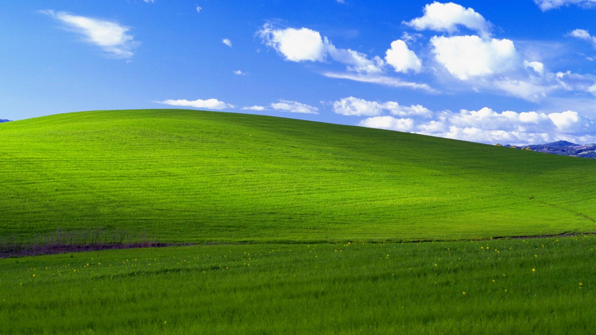
Windows XP OSINT Hidden Data
Let's start with the first question and learn about a new tool in the hacker's arsenal, exiftool.
ExifTool on Linux is a powerful, command-line utility for reading, writing, and editing metadata in files especially images, audio, and video. Developed by Phil Harvey, it supports a wide range of formats (JPEG, PNG, TIFF, MP4, PDF, and more). On Linux systems, ExifTool is typically installed via package managers (like apt, dnf, or pacman) and used in the terminal. It can extract metadata (EXIF, IPTC, XMP), modify tags, batch-process files, and even rename files based on metadata.
You can run the tool in a Linux environment as such.
$ exiftool WindowsXP_1551719014755.jpg

ExifTool Version Number         : 13.50
File Name                       : WindowsXP_1551719014755.jpg
Directory                       : .
File Size                       : 234 kB
File Modification Date/Time     : 2026:05:06 21:43:18+03:00
File Access Date/Time           : 2026:05:06 21:43:41+03:00
File Inode Change Date/Time     : 2026:05:06 21:43:20+03:00
File Permissions                : -rw-rw-r--
File Type                       : JPEG
File Type Extension             : jpg
MIME Type                       : image/jpeg
XMP Toolkit                     : Image::ExifTool 11.27
GPS Latitude                    : 54 deg 17' 41.27" N
GPS Longitude                   : 2 deg 15' 1.33" W
Copyright                       : OWoodflint
Image Width                     : 1920
Image Height                    : 1080
Encoding Process                : Baseline DCT, Huffman coding
Bits Per Sample                 : 8
Color Components                : 3
Y Cb Cr Sub Sampling            : YCbCr4:2:0 (2 2)
Image Size                      : 1920x1080
Megapixels                      : 2.1
GPS Latitude Ref                : North
GPS Longitude Ref               : West
GPS Position                    : 54 deg 17' 41.27" N, 2 deg 15' 1.33" W
Search for any useful information that might help us to answer the question. We can see the author of the image. Let's try a quick search for their social media accounts.
Bingo! They have an account in x.com
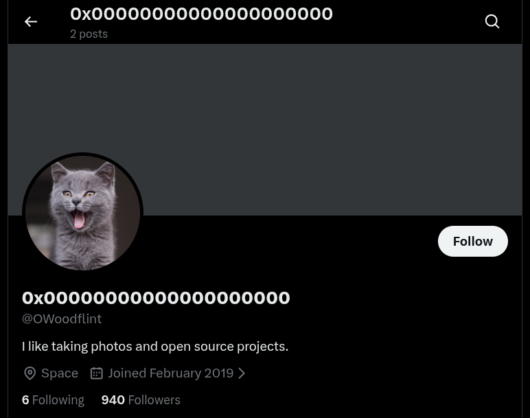
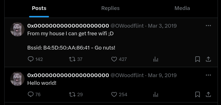
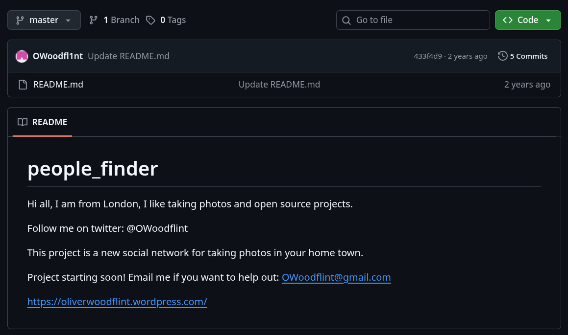
From the social media account we can see the bssid of the user, as well a link to his personal website and Github account.
 OWoodfl1nt
 owoodflint
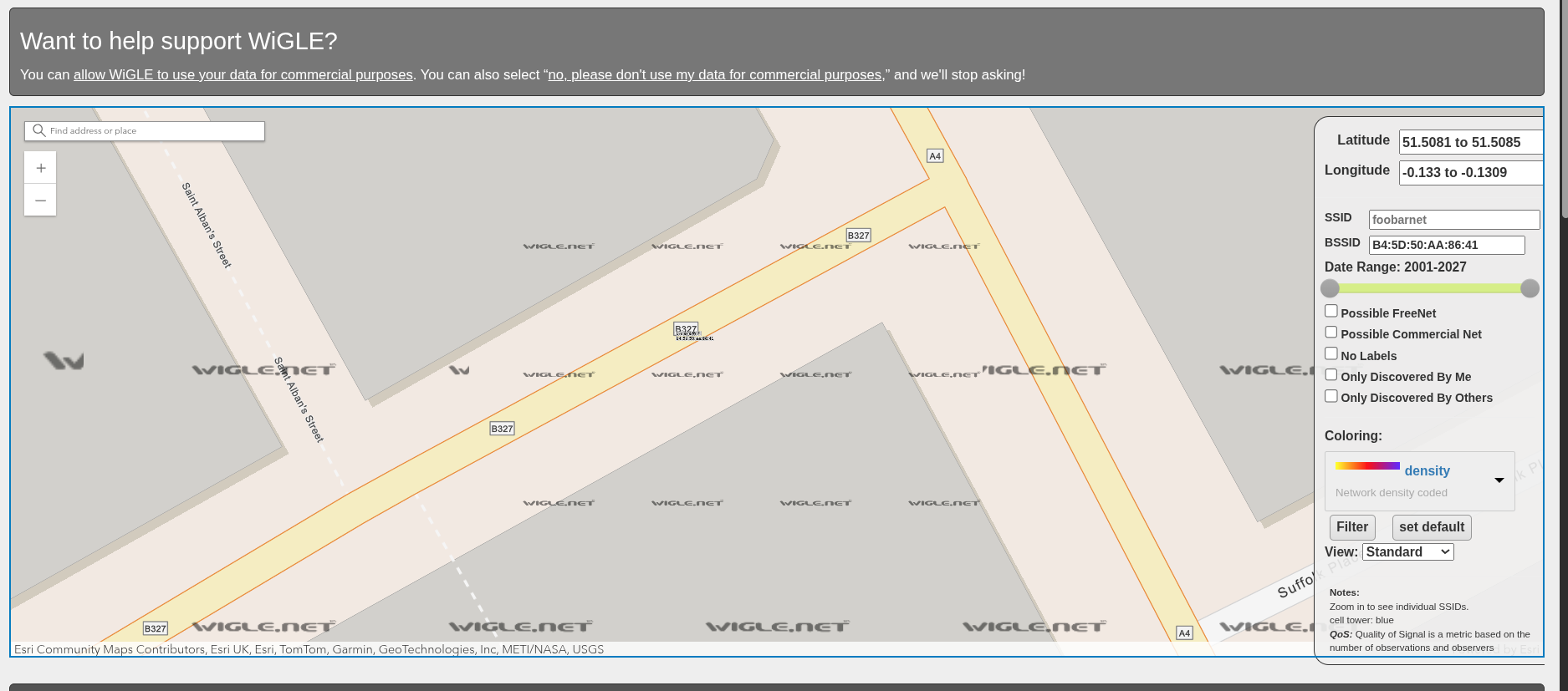
We discovered the bssid previously, so let's head out to a website that can help us with this task.


You need to create an account to proceed with the search, so please do. Then in the search function paste the bssid that we have found following the purple circle located in London.
We discovered the answer in his Github account.
Direct link with the previous answer.
Browsing through his WordPress website, we can found the answer.
 owoodflint
Im in [redacted] right now, so I will update this site right away with new photos!
Just look the source code of the WordPress website. The answer is hidden here. 😄
Congratulations! You have solved this room! 🎉 🎉 🎉